19/6/26-23/6/26
CONDENSATIONS SG26 with SIWW
PART 03
Condensations, part 03 is a comprehensive five-day workshop which took place from the 19th to the 23rd of June 2026 at SUTD. The East Coast was the workshop’s field for developing design-led approaches to coastal protection. The five-day brief brought territorial reading, technical context and group propositions into one programme. Participants examined how architecture and landscape could contribute to water management, ecological capacity and a connected coastal interface.
The task was to move from a general commitment to resilience toward explicit spatial decisions: where an intervention acts, what it connects, and what functions it is intended to support. The group work records this translation through drawings, table reviews and digital proposal boards. It provides material for further development, comparison and testing.
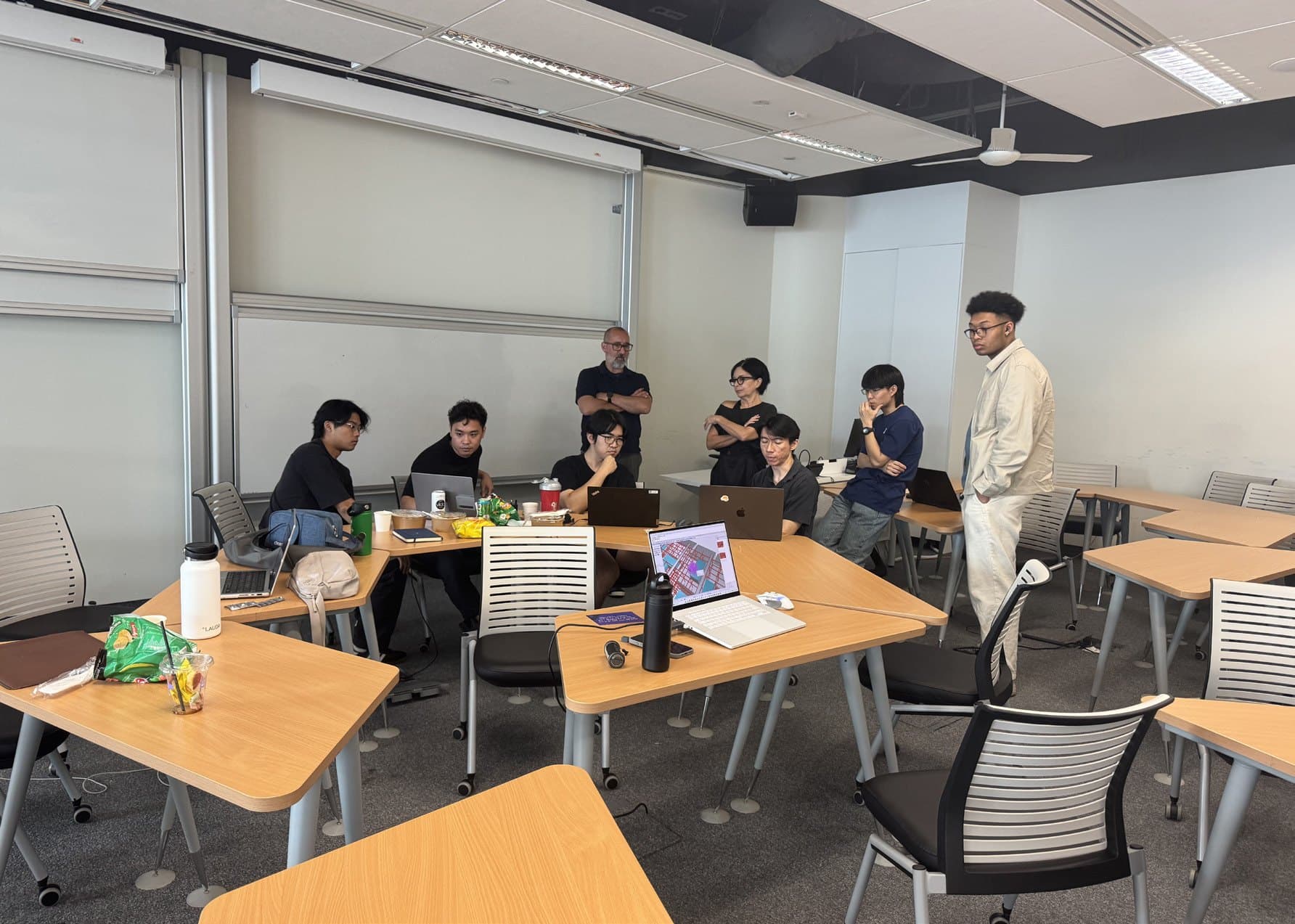
The workshop connected territorial understanding to the development of propositions. Its brief combined lectures, tutorials and studio work so that coastal processes, site information and infrastructure references could inform design decisions.
Participants were asked to consider architecture as shelter and infrastructure: bringing retention, filtration and recirculation into relation with occupation and public life. This extends the design task from the component to the surrounding landscape and coastal system.
The learning agenda is practical: establish a problem, draw the relationships that matter, formulate an intervention and specify what must be tested. Shared reviews allow those steps to be challenged before a proposition is developed further.
Programme Outline:
Ground The Question
Briefing, site context, coastal processes and initial research strategy.
Build A Reading
Data, transect mapping, AI PEER and the refinement of a problem statement.
Develop The Proposal
Design, 3D modelling, tutorials and the allocation of group tasks.
Make It Discussable
Drawings, fabrication preparation, prototyping and presentation material.
Present And Reflect
Group presentations and an invited review of the proposals.
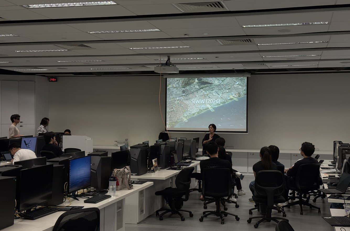
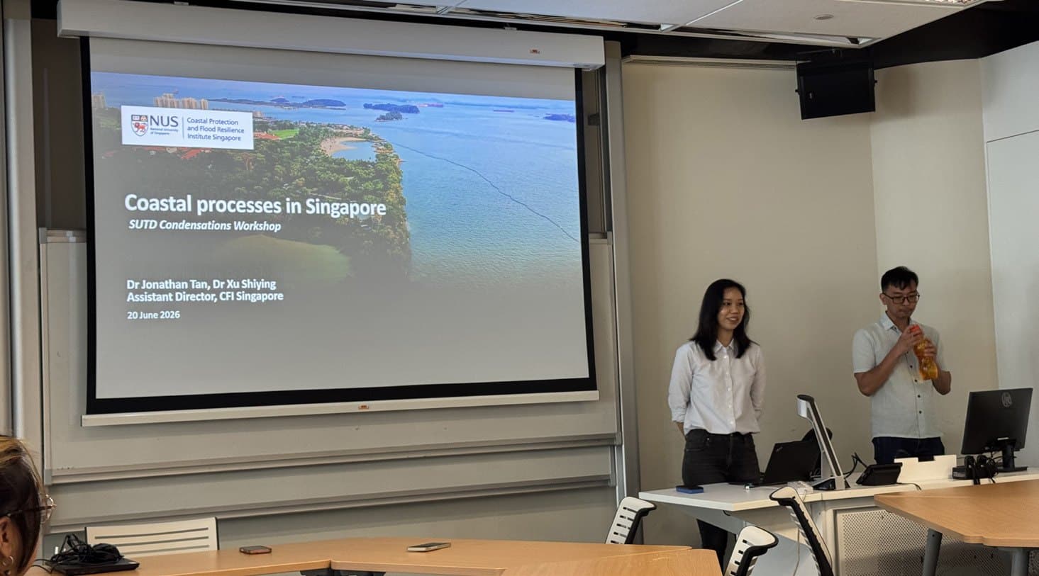
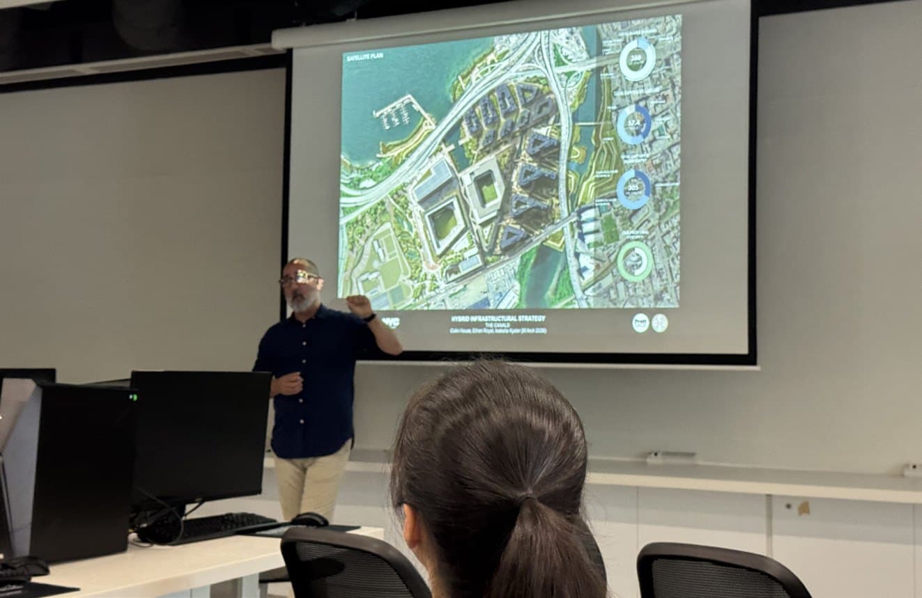
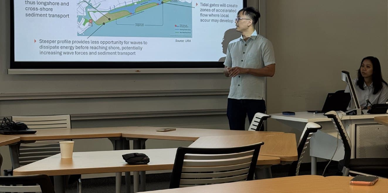
The workshop brief placed sea-level rise, storm surge and sediment dynamics within the design process. The shoreline was approached as part of a territory with a history of modification and a set of changing environmental conditions. The accompanying research maps made that history available as a basis for spatial discussion.
The transect connects conditions that a shoreline plan can separate: built catchment, drainage, public space, coastal edge and sea. It allows a proposal to explain where water is encountered, how levels and uses relate, and where different systems meet. This is the basis for identifying a design intervention and the technical questions it creates.
A serious coastal agenda requires those questions to remain attached to the drawing. The next stage should specify the conditions used for comparison, the evidence behind the site reading and the assessments needed to judge a proposed change.
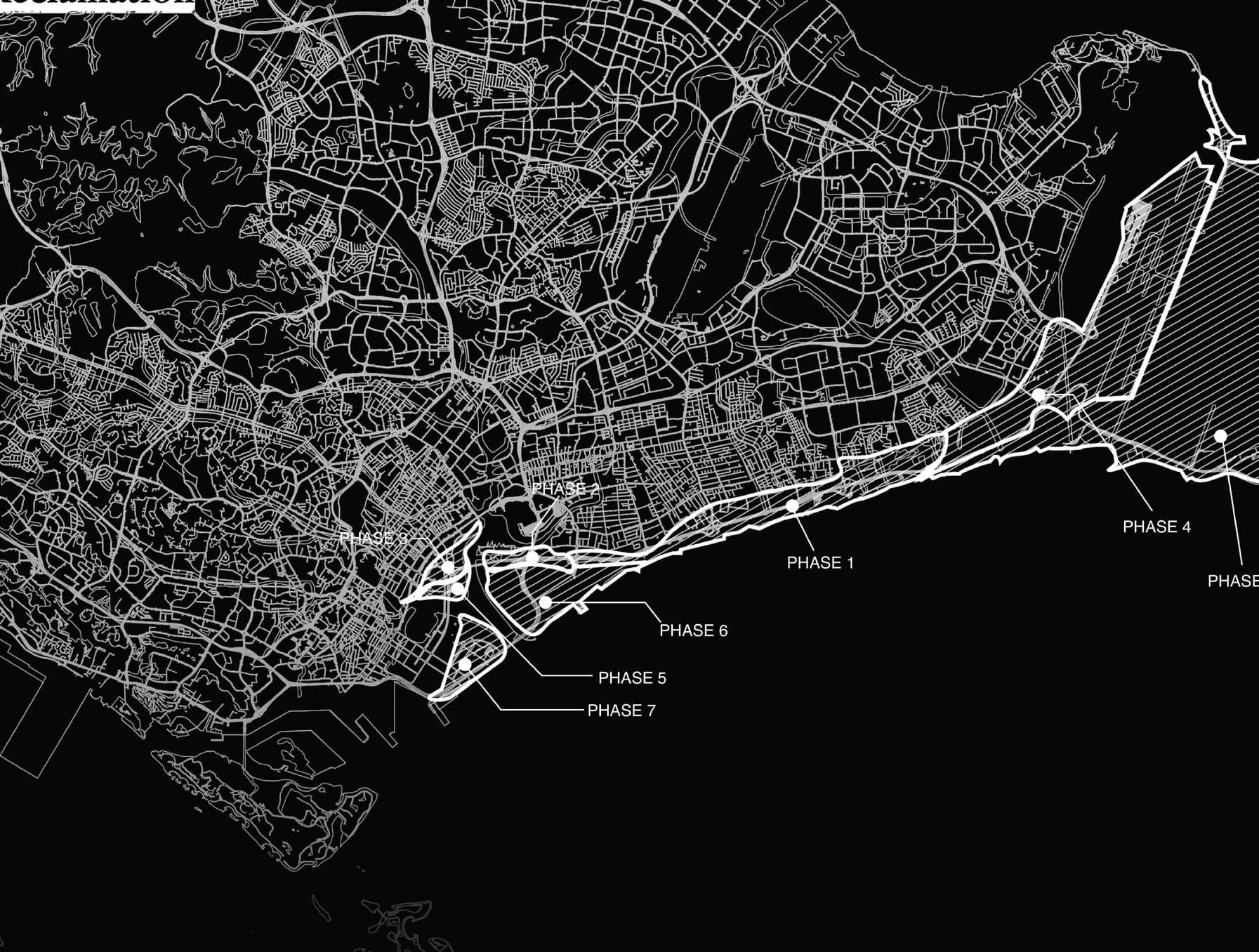
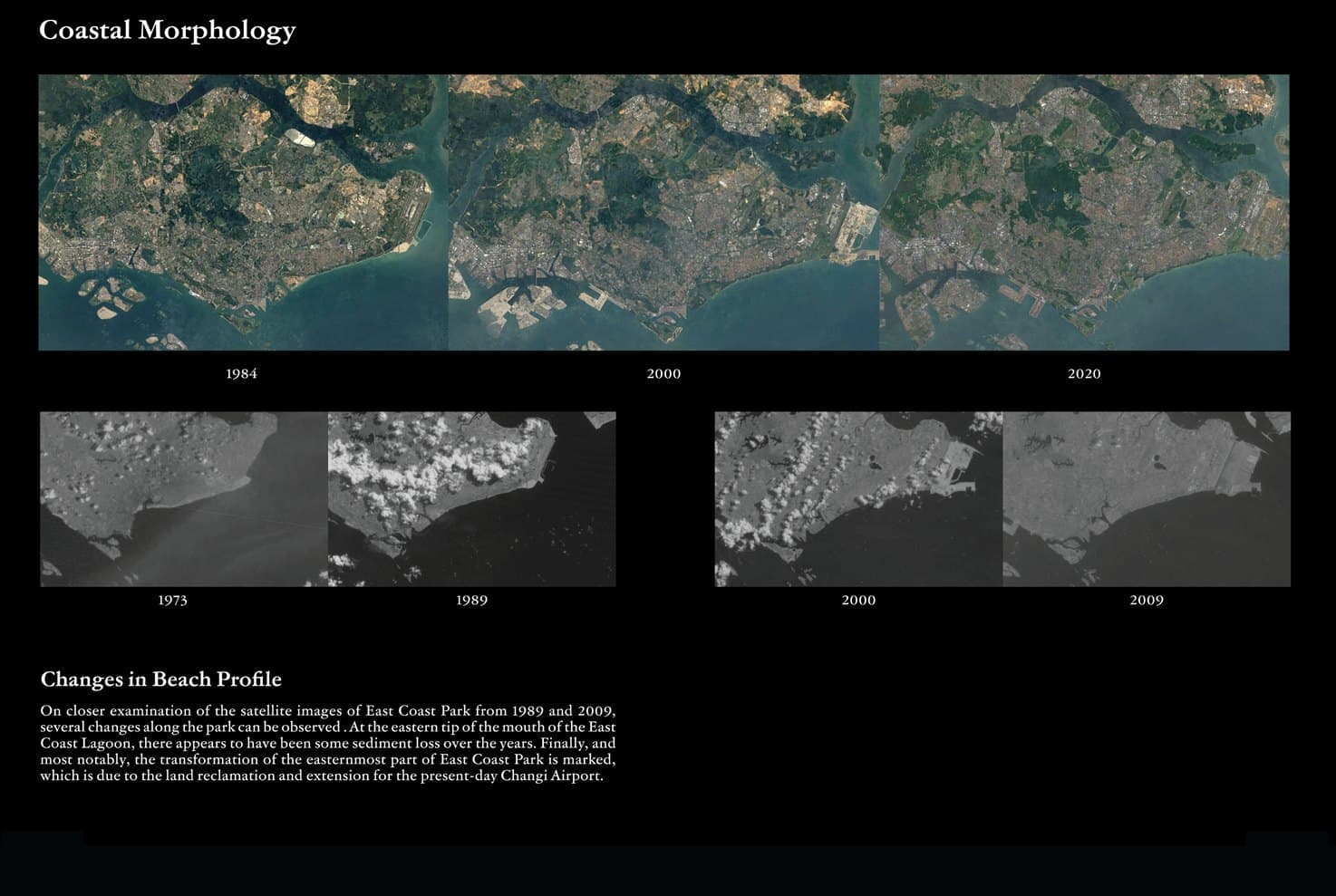
Luciano Brina’s research presents a multiobjective decision-support system for coastal landscape infrastructure. It connects territorial datasets to hydrological and coastal analyses, with outputs intended to support design exploration. Available geoproducts include topobathymetry, waterways, built footprints, land cover and movement networks. Proposed functions extend toward runoff, inundation and suitability studies.
For the workshop’s agenda, the value of these tools lies in making a proposition answerable to its context. A design team should be able to state which dataset informs a decision, which assumptions have been changed and how the resulting spatial consequences are compared. Mapping then becomes part of an argument for intervention.
The distinction between available and proposed functions is essential to this process. A displayed dataset, a scenario under development and a validated assessment support different kinds of claim. Further work should connect the most promising propositions to an appropriate analytical workflow, with scope and uncertainty made explicit before results guide design decisions.
From Data To A Design Question:
Data: The territorial datasets and geoproducts that inform a decision.
Scenario: An assumption changed, and its spatial consequences made easier to examine.
Reading: Comparison that supports design judgement while keeping scope, data quality and uncertainty visible.
Research / Luciano Brina, CCA, SUTD.
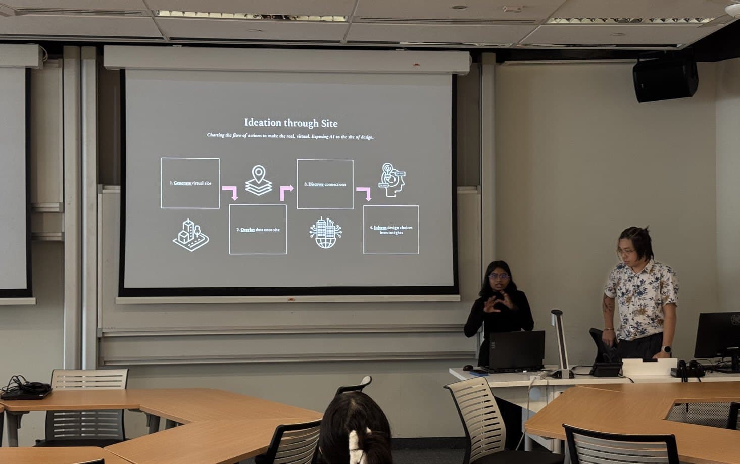
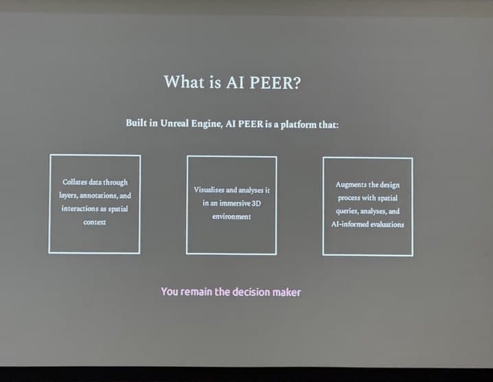
The AI PEER session introduced a platform for exploring design ideas. Its presentation makes the participant’s decision-making role explicit. In the programme brief, AI workflows support transect analysis, rapid ideation and refinement of a problem statement.
For coastal protection, an image is useful when it advances a design question that can be examined. The workshop’s visual studies must be translated into relationships between site, water, structure, landscape and use. The proposal should identify which elements are supported by evidence, which are design assumptions and which require further assessment.
The agenda is to use these tools to broaden and test alternatives while keeping design responsibility with the team. Selection must be followed by explanation, redrawing and technical enquiry. This establishes a route from visual exploration to a proposition that can be reviewed by others and developed with relevant expertise.
Key Steps:
Frame
Name the site, question and constraints.
Explore
Generate and compare possible directions.
Interrogate
Check assumptions, evidence and omissions.
Decide
Select, redraw and explain the next move.
The Resilience & Regeneration presentation asks how an intervention relates to disturbance and to longer-term ecological and social change. Resilience includes the capacity to retain function under changing conditions; regeneration asks whether new capacities can develop. The framework remains a research proposition for further assessment.
The first task is to describe the disturbance. A brief shock, a sustained disturbance and a gradual pressure create different design questions. The proposition must identify what changes, how quickly it changes and the period over which the response is expected to operate. Without those conditions, a claim of resilience remains too general to guide design.
The second task is to establish what should be sustained or improved. Protective function, ecological relationships and social use require explicit criteria and appropriate evidence. The programme’s agenda is to bring these criteria into the design process early, so that a spatial intervention can be developed alongside a plan for its assessment, care and adaptation.
Disturbance Signatures:
Pulse: A brief shock.
Sustained Pulse: A shock that holds before it recedes.
Press: A sustained disturbance.
Ramp: A gradual, increasing pressure.
Process / Reciprocity / Evolution — the research considers process alignment, reciprocal capacity and evolutionary potential as prompts for site-specific and longitudinal assessment, presented as a framework under development.
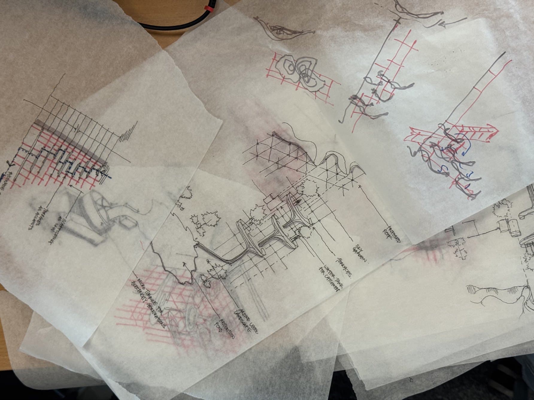
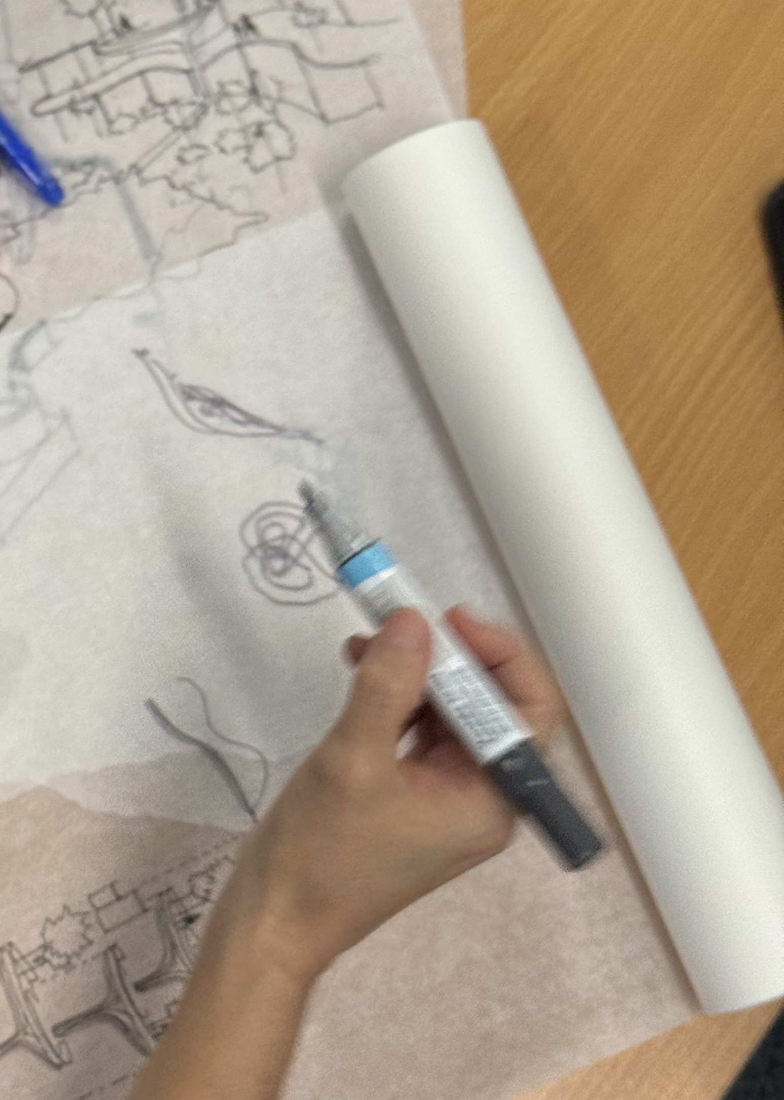
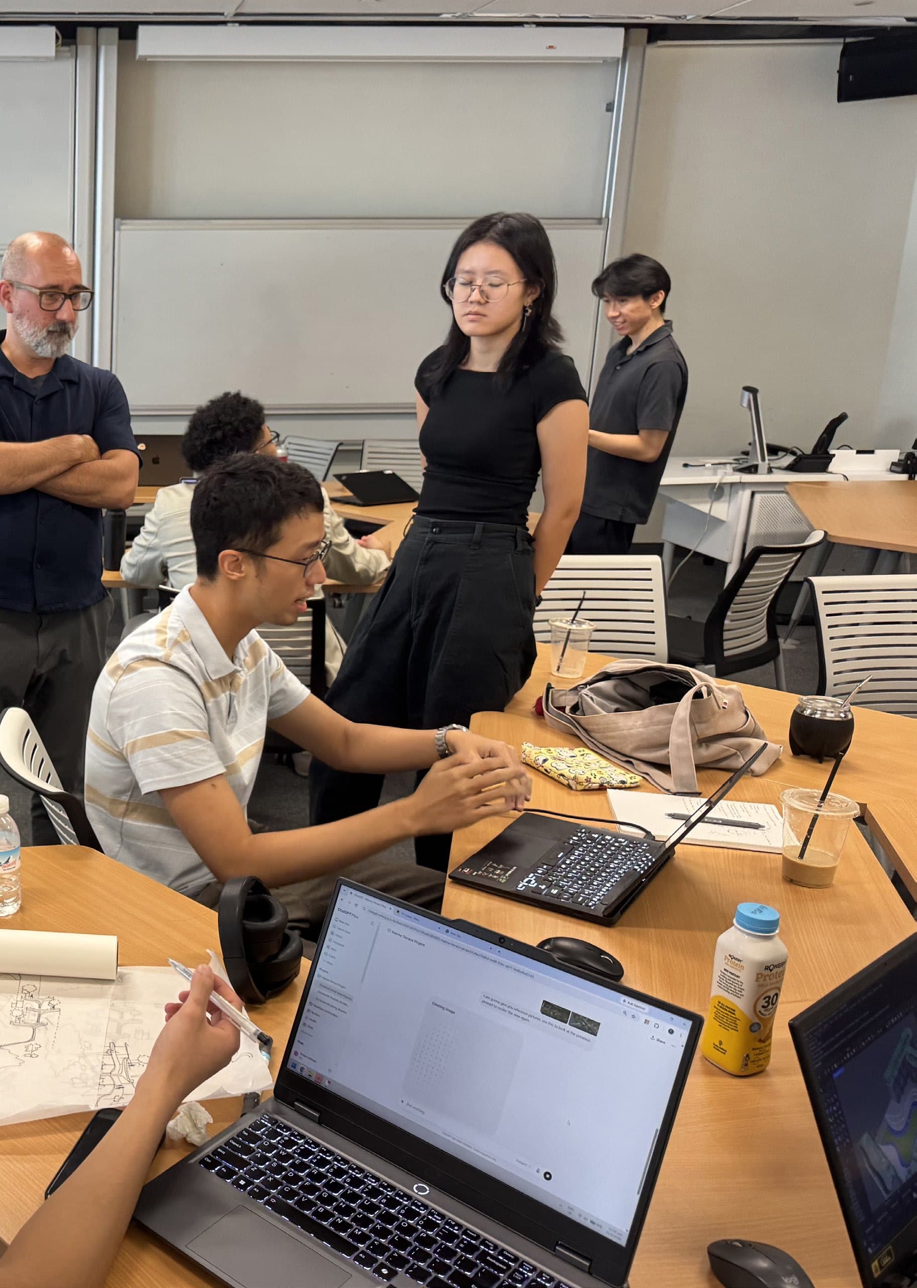
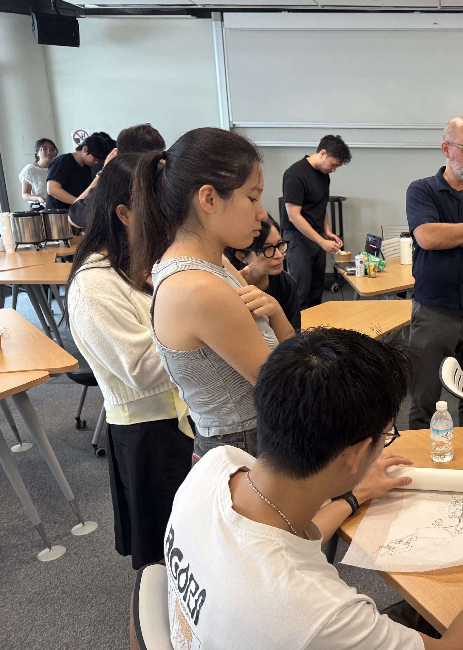
Site, water, ground, inhabitation. Tracing paper allowed the relationship between built form, ground and water to be revised directly during discussion. The photographed studies show repeated elements, open spaces and connections drawn across a coastal section. They make an architectural proposition available for collective scrutiny.
The next task is to attach performance questions to that spatial argument. The design must establish which spaces retain or convey water, how occupation relates to them, and how the intervention connects to the surrounding shore. A drawing becomes useful to coastal protection when those relationships can be specified and tested.
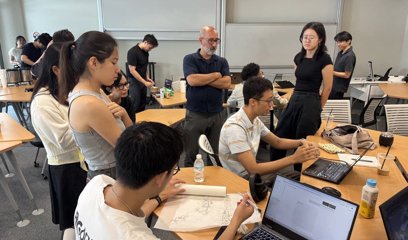
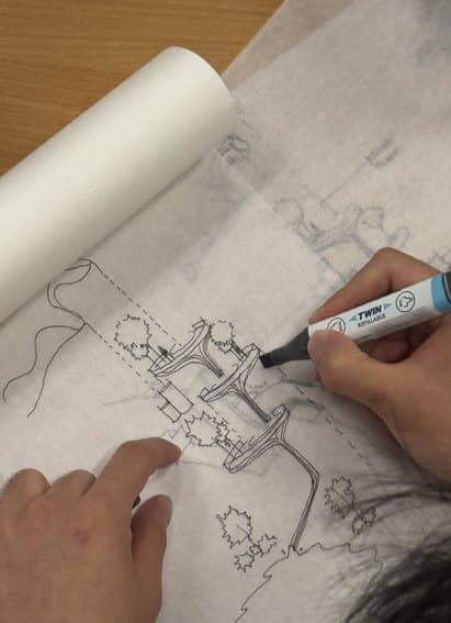
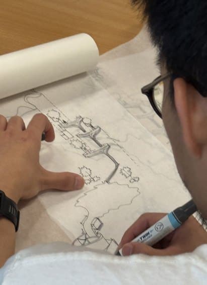
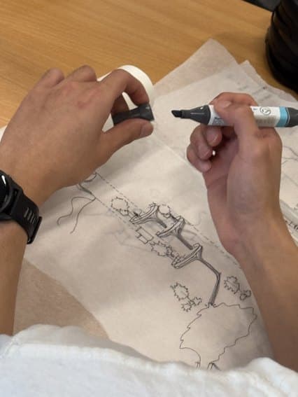
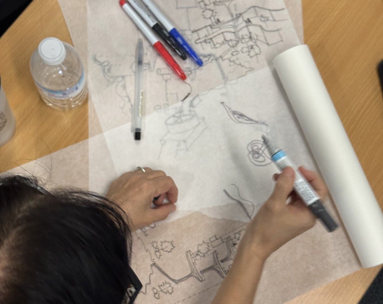
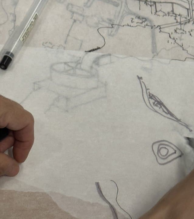
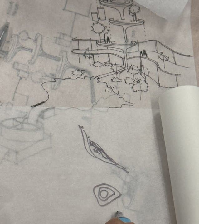
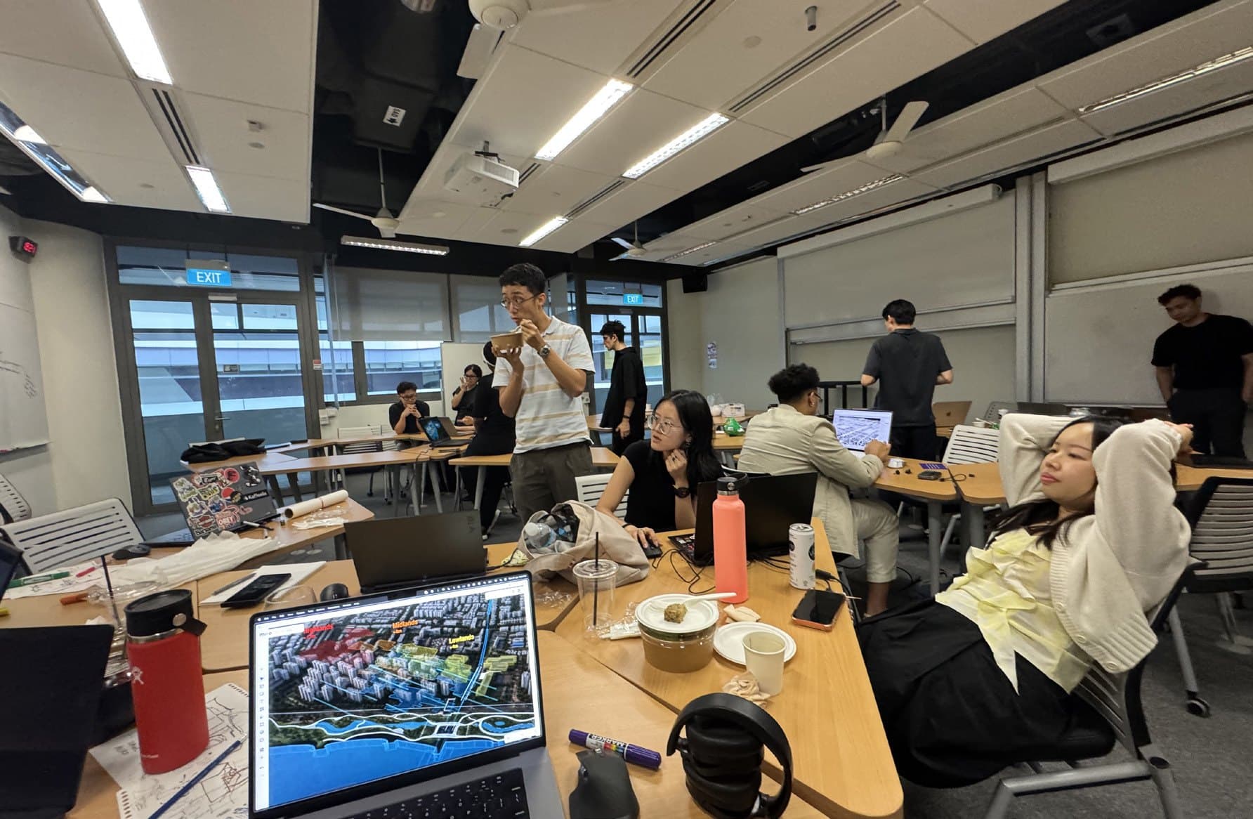
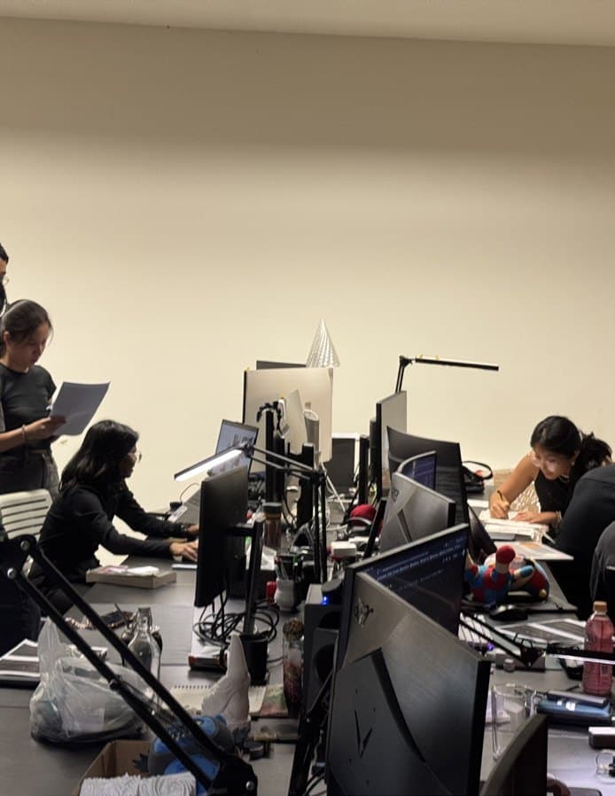
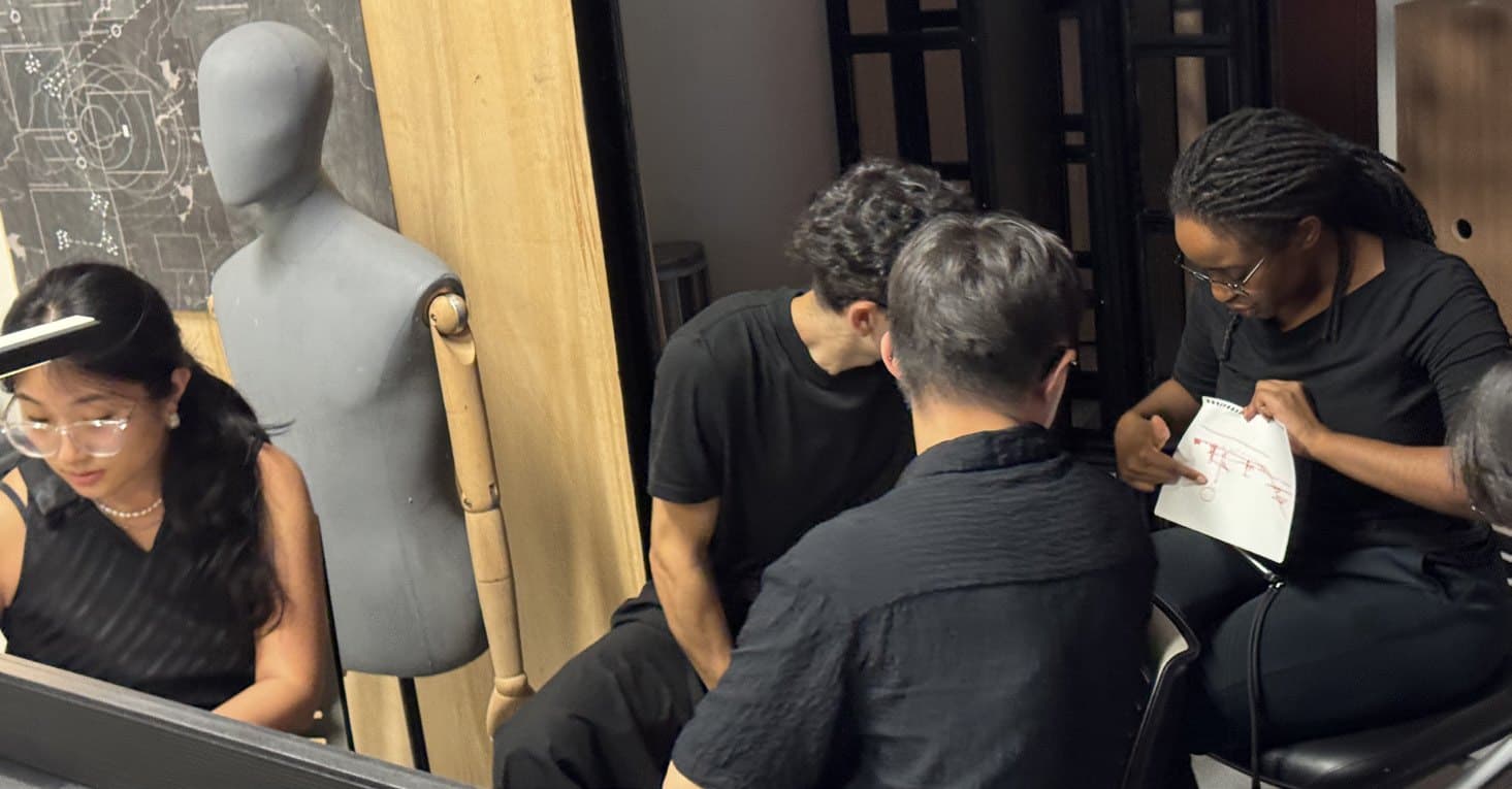
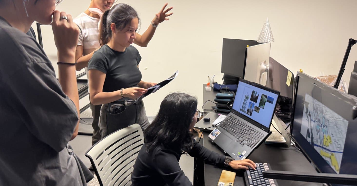
Separate workshop groups developed their propositions through table presentations, drawings and shared digital boards. The review brings the proposal into discussion with others. Drawings and screens provide a shared reference through which a team can explain its design decisions and receive criticism. The next step is to preserve that reasoning alongside the visual material: the site condition, the proposed intervention and the questions that remain to be resolved.
The agenda for this work is coastal protection: to establish how spatial interventions can support a more coherent relationship between water, built form, ecology and public use. The proposition studies that follow examine visible material from the group reviews and identify the questions that should guide further development.
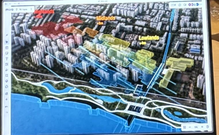
The territorial board visible during a group review labels Highlands, Midlands and Lowlands across an urban-to-coastal image. Built areas, landscape corridors and the water edge are represented together. The study introduces a useful question for the programme: how should coastal adaptation respond to differences in ground, occupation and proximity to water?
The next design task is to translate this zonation into an assessable spatial proposition. Each zone needs a defined role within the wider coast, with its connections to drainage, public routes and adjacent development made explicit. A territorial image can organise a direction for design, but it does not establish how the system will perform. Further development should connect the proposal to measured site levels, relevant water conditions and a clear account of intended protective functions.
Next Design Task / Connect The Zones:
Ground: Differences in level, occupation and proximity to water.
Water: Drainage, retention and the coastal edge.
Public Use: Routes, access and adjacent development.
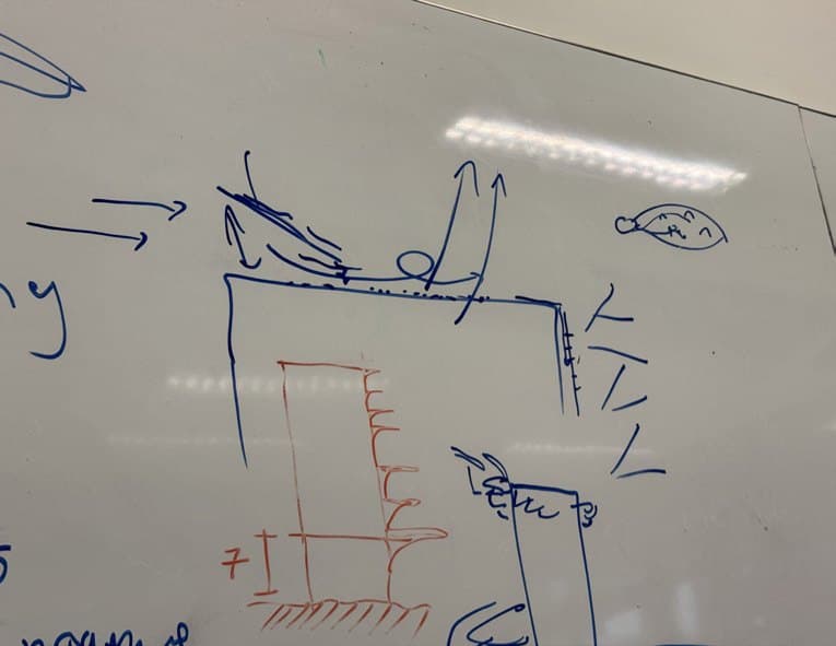
The tracing-paper studies bring repeated structural elements, terraces, roof landscapes and spaces between built forms into a common architectural investigation. Annotations connect the section to occupation, planting and air movement. In the workshop brief, these architectural questions sit within a wider ambition for absorption, filtration and recirculation.
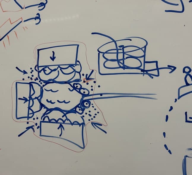
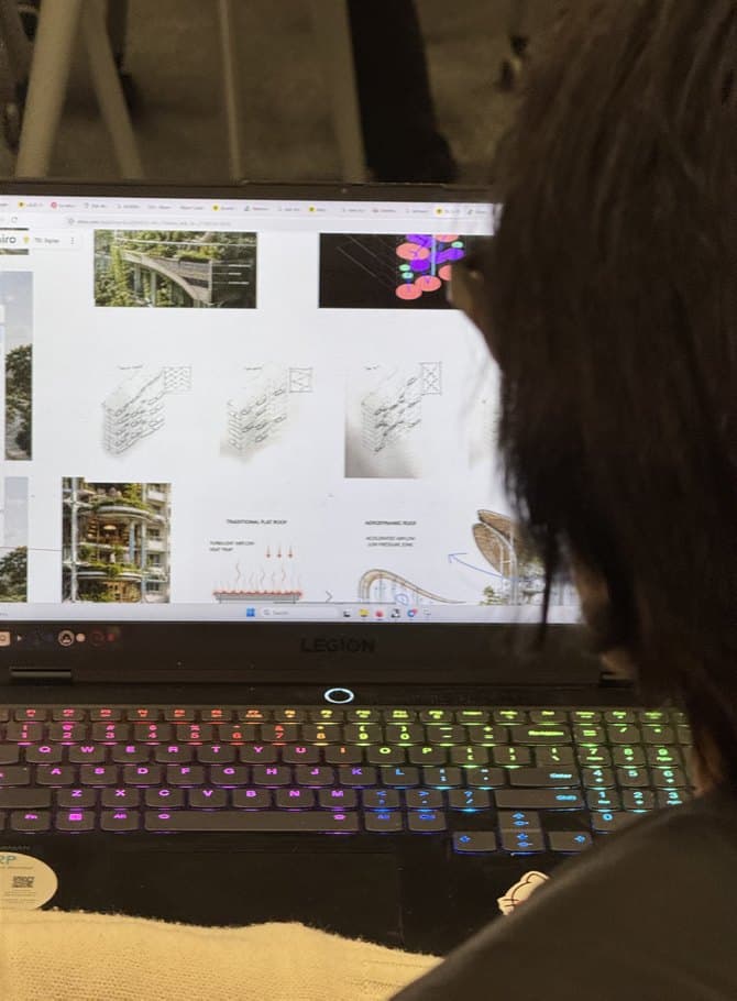
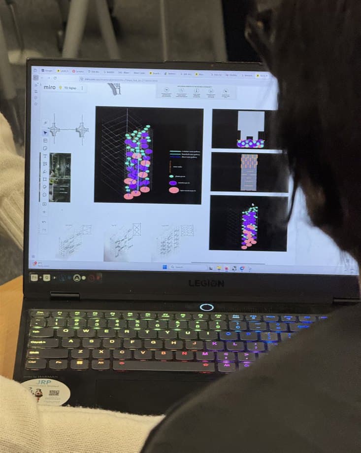
Further design development must make the water functions explicit: which spaces collect or convey water, how levels and overflow are organised, and how occupation is maintained alongside those functions. Whiteboard diagrams record cells, connections and directional flows; digital boards place architectural studies beside spatial references and environmental diagrams. The task ahead is to connect the component, the building and the coast.
The Territorial Anatomies pilot proposes a longer research agenda for Long Island and SUTD’s Sustainable Futures Centre. Critical cartography is used to trace territorial metabolisms: the movements of material, capital, carbon and everyday life. Its sequence moves through scoping, indexing, platforming and inhabiting, with a GIS atlas, an immersive walkthrough and public-facing formats proposed as future outputs.
This provides a possible context for carrying the programme’s coastal questions forward. The agenda is to retain the workshop’s capacity to generate alternatives while establishing a stronger basis for comparison and development. That means defining research questions, identifying the information required to address them, and deciding how findings will return to the design process.
The programme establishes a design agenda for protecting shorelines as inhabited and ecological territories. Its next phase should concentrate on propositions with a clear spatial argument and an assessable contribution to coastal adaptation. Each proposition needs a defined site condition, protective and ecological objectives, and appropriate expertise for evaluation. Drawings and models must be accompanied by a plan for testing, maintenance and adaptation.
The objective is sustained progress toward coastal systems that protect communities while supporting the life of the shore. Design contributes by making alternatives concrete and directing the next research and implementation decisions.
Three Questions For The Next Phase:
Test The Interface
How does each intervention meet adjacent land, infrastructure and ecological processes?
Specify The Evidence
Which assumptions need modelling, measurement or a physical experiment?
Name The Stewardship
Who can build, inspect, maintain and adapt the system over time?
Host
SUTD Sustainable Futures Centre
Organisers
Centre for Climate Adaptation
Architecture and Sustainable Design, SUTD
Venues
SUTD Campus Centre
Marina Bay Sands, Singapore
CCA / SUTD Researchers
Eva Castro
Adelin Johari
Darius Chen
Brayden Tang
Nicholas Lim
Sarah Luposo Tuke
Luciano Brina
Daryl Ho
Keng Boon Heong
Design Team
Eva Castro
Pia Fricker
Adelin Johari
Agnesa Ademi
Brayden Tang
Darius Chen
Living Lab / S.H.I.E.L.D
Steering team: SUTD; Mlion Corporation Pte. Ltd.; Witteveen+Bos South-East Asia.
Living Lab support: PUB.
Exhibition sponsorship: SUTD Sustainable Futures Centre.